[ Bathymetry | Backscatter | Optical Validation | Geomorphology ]
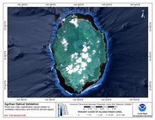
Agrihan is a dormant volcanic island located at latitude 18 46’N, longitude 145 40’E, approximately 390 km north of Saipan. It is 10 km long and 7 km wide with an area of approximately 47 km2 and a maximum elevation of 965 m. It is the highest point in CNMI and the largest single volcano.
Click thumbnail maps below to explore PIBHMC’s data sets.
Bathymetry |
Backscatter |
Optical Validation |
Geomorphology |


