[ Bathymetry | Backscatter | Optical Validation | Geomorphology ]
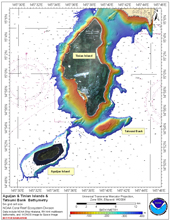
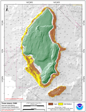
Tinian Island lies in the southern portion of CNMI at latitude15 N, longitude 145 38’E, 4.4 km south of Saipan and 160 km north of Guam. Tinian and the nearby Aguijan Island form the Tinian Municipality. Tatsumi Reef, a popular fishing area, lies three km southeast of Tinian. The major population center is San Jose. Tinian has a land area of 102 km2 and measures 19.9 by 9.5 km with a maximum elevation of 166 m.
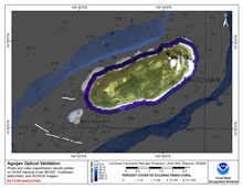
Aguijan Island (also spelled Aguigan) lies in the southern portion of CNMI, and is located 8 km southwest of Tinian Island at latitude 14 52’N, longitude 145 34’E. This small island measures only 4 km by 1 km with an area of about 7.3 km2. Its maximum elevation is 57 m and steep cliffs surround the island; thus it is uninhabited and seldom visited.
Click thumbnail maps below to explore PIBHMC’s data sets.
Bathymetry |
Backscatter |
Optical Validation |
Geomorphology |


