[ Eleven Mile Bank | Galvez Bank | Esmeralda Bank | Zealandia Bank | 35&37 fthm banks ]

Eleven Mile Bank
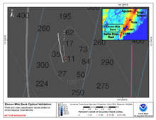
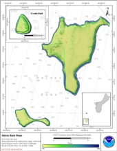
Eleven Mile Bank is located about 9 nautical miles (17 km) south of the southern end of the island of Guam. The surface of this predominantly cone-shaped bank is characterized by rough terrain, at least at depths shallower than 100 m. As implied by its name, the charted depth of the peak of the bank is 11 fathoms (20m). This bank has some coral and, despite its proximity to the island of Guam, many reef fish.
Bathymetry |
Backscatter
Not yet available
|
Optical Validation |
Geomorphology
Not yet available
|

Galvez Bank
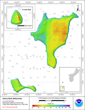
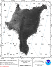
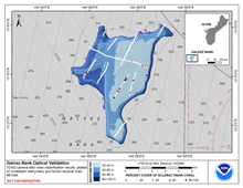
Galvez Bank is located about 12 nautical miles (22 km) south-southwest of the island of Guam. The bank actually consists of several bathymetric highs, with a minimum charted depth of 20 m. Most of the bank top is characterized by moderate relief, lots of algae, scattered corals and a few reef fish. The bank has a fair amount of coral cover in several areas and a moderate number of reef fish.
Bathymetry |
Backscatter |
Optical Validation |
Geomorphology |

Esmeralda Bank
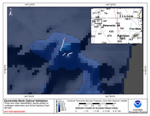
Esmeralda Bank is located approximately 37 km west of Tinian. There are two shallow banks plotted near Esmeralda Bank and NOAA’s Nautical Chart 81004 shows four soundings less than 80 m in depth. One of these is a kidney-shaped area labeled “Active Sulphur Boil (1945)” with a depth of 30 fathoms (55 m) indicated on the chart. This bank does not exist, while the other bank and Esmeralda Bank are smaller than indicated on the chart. A multibeam survey of Esmeralda Bank was carried out during the NOAA Ring of Fire cruise in April 2004. The Bank appears to have experienced recent volcanic activity and shows signs of current hydrothermal circulation.
Bathymetry
Not yet available
|
Backscatter
Not yet available
|
Optical Validation |
Geomorphology
Not yet available
|

Zealandia Bank
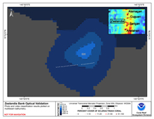
Zealandia Bank is located approximately 20 km north of Sarigan Island. This flat-topped bank with two pinnacles is surrounded by vertical walls. Rhodoliths, calcareous nodular bodies produced by algal accretion, and Halimeda algae beds were seen by video camera at depths of 115 m.
Bathymetry |
Backscatter |
Optical Validation |
Geomorphology
Not yet available
|

35 & 37 fthm Bank
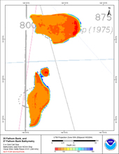
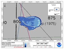
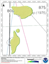
35 & 37 fthm Bank are located east of Anatahan, Commonwealth of the Northern Marianas (CNMI). They are one of the many islands and banks that form the Mariana Arc. These banks were first mapped during reconnaissance surveys of banks of potential fisheries interest, and were located by charted soundings on navigation charts. They were mapped aboard the NOAA ship Oscar Elton Sette during cruise SE-10-02, during which one mission was to map important fishery resources of Guam and CNMI. No local names for these banks are known, and they are therefore referred to here by the navigation chart sounding from which they were located.
Bathymetry |
Backscatter
Not yet available
|
Optical Validation |
Geomorphology |
