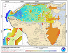
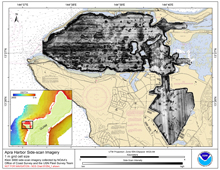
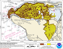
[ Bathymetry | Side-Scan | Optical Validation | Geomorphology ]
Abra Harbor, Guam is a deep-water port on the western side of Guam in the Mariana Islands. Guam (Guahan in native Chamorro) is the southern-most island of the Mariana Archipelago and is located at 13 28’ N, 144 47’ E. It has a total area of 541.3 km2 and the highest point is Mount Lamlam at 406 m. It had an estimated population of 173,456 in 2007. In 1950 under the Guam Organic Act, the island became an organized, unincorporated territory of the United States under the jurisdiction of the Office of Insular Affairs, Dept. of the Interior (DOI). Northern Guam is composed of flat, uplifted limestone, while the southern half is raised volcanic material. Over 10% of Guam’s coastline has been set aside in five marine preserves, in an effort to combat declining reef health over the past 40 years. more …
Click thumbnail maps below to explore PIBHMC’s data sets.
Bathymetry |
Side-Scan |
Optical Validation |
Geomorphology |


