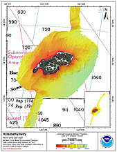
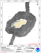
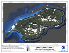
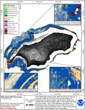
[ Bathymetry | Backscatter | Optical Validation | Geomorphology ]
Rota is the southernmost island of the Commonwealth of the Northern Mariana Islands (CNMI) and lies about 60 km northeast of Guam and 90 km southwest of Tinian at latitude 14 10’N, longitude 145 14E. The island is small (85.5 km2), 17 km long and 8 km wide with a maximum altitude of 496 m on Mt. Manira. Sinapalo and Song Song are the two primary communities on the island.
Click thumbnail maps below to explore PIBHMC’s data sets.
Bathymetry |
Backscatter Imagery |
Optical Validation |
Geomorphology |


