[ Arakane Reef | Pathfinder Reef | Santa Rosa Reef | Stingray Shoals ]
The submerged reefs & shoals of the Commonwealth of Northern Mariana Islands (CNMI) and Guam are an expanse of habitat supporting a wide range of coral reef organisms. The reefs that have been at least partially mapped are listed above, but there are many other banks in CNMI-Guam area that have not yet been mapped with multibeam surveys.

Arakane Reef
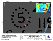
Arakane Reef is located approximately 325 km west-northwest of Saipan in the West Mariana Arc. On NOAA’s Nautical Chart 81004, it is identified by a single sounding of 5 fm (9m). It is smaller than indicated on the chart and its true center is approximately 1 km southeast of the center of the charted reef. It was mapped in September 2003 using single-beam sonar and an underwater video camera during the NOAA MARAMP cruise. Encrusting and fleshy algae, hard and soft corals, and sand were seen on hard substrate ridges.
Bathymetry
Not yet available
|
Backscatter
Not yet available
|
Optical Validation |
Geomorphology
Not yet available
|

Pathfinder Reef
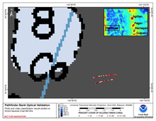
Pathfinder Reef is located approximately 275 km west of Anatahan in the West Mariana Arc. Pathfinder Bank is 3 km southeast of its plotted position on NOAA’s Nautical Chart 81004 and includes areas shallower than 10 m, rather than the 8 fathoms (15 m) shown on the chart. It was mapped in September 2003 using single-beam sonar and an underwater video camera during the NOAA MARAMP cruise. Hard and soft corals were found on ridges of carbonate pavement, separated by channels containing rubble.
Bathymetry
Not yet available
|
Backscatter
Not yet available
|
Optical Validation |
Geomorphology
Not yet available
|

Santa Rosa Reef
Santa Rosa Reef is located about 25 nautical miles (46 km) south-southwest of the island of Guam. It is a mostly flat-topped bank with one reaches as shallow as 7 m below sea level. Most of the bank top is characterized by moderate relief, lots of algae, scattered corals and a few reef fish.
Bathymetry
Not yet available
|
Backscatter
Not yet available
|
Optical Validation |
Geomorphology
Not yet available
|

Stingray Shoals
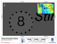
Stingray Shoals is located in the West Mariana Ridge, approximately 275 km west of the island of Uracas. The ridge is a remnant volcanic arc, and the morphology of Stingray Shoals is a typical the other seamounts there. It is a steep-sided pinnacle with a well-developed continuous reef on the small summit (approximately 300 m x 500 m). Despite its remote location at the northern edge of the Ridge, evidence of fishing activity is present, including anchors and long-line gear on the reef.
Bathymetry
Not yet available
|
Backscatter
Not yet available
|
Optical Validation |
Geomorphology
Not yet available
|


