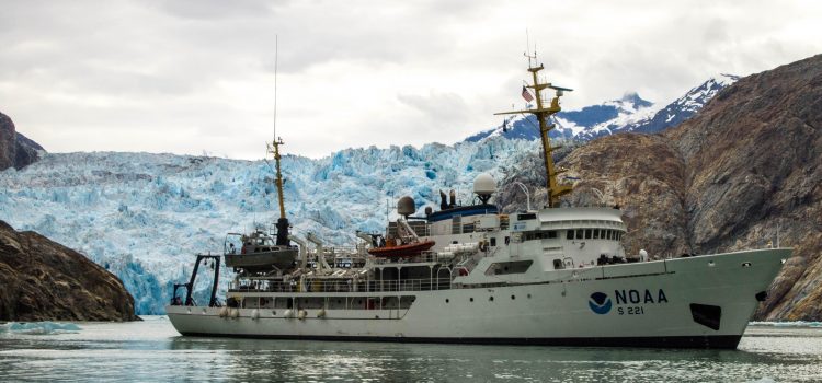
Ensign Airlie Pickett Ensign Harper Umfress NOAA Ship Rainier Hydrography has been around for as long as people have been going to sea. Nautical charts serve as maps for the mariner, identifying shoal areas, wrecks, safe water, reefs, etc. They are the primary source of navigational information for all oceangoing vessels, and support billions of dollars in trade every year. The Office of Coast Survey and NOAA’s fleet of ships and small boats are responsible for the creation and maintenance of the nautical charts within US territorial waters. The science of hydrography has advanced rapidly over the past 100 years.
Seminar joint with Oceanography: NOAA, Hydrography, and The Office of Coast Survey

