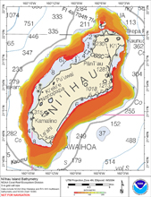
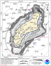
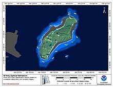
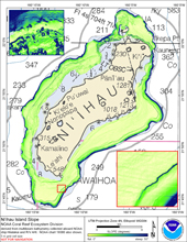
[ Bathymetry | Backscatter | Optical Validation | Geomorphology ]
Niihau, the oldest of the Main Hawaiian islands along with Kauai, is also the second smallest, at 182 sq. km, and the smallest inhabited Hawaiian island. Located at 21 degrees 55’N, 160 degrees 10’W, it is the furthest from the magma-producing hotspot which formed the island chain. The island lies only 21 km west-northwest of Kauai, but the islands are separated by a channel 1097 m deep. Niihau reaches a height of 390 m, has 72 km of shoreline, and an estimated reef area of 60 sq. km (Hawaii Coral Reef Network). The island is privately owned and was inhabited by 230 people in 1990. Like all of the Main Hawaiian islands, it is considered a high island and contributes significant nutrient and sediment runoff to coastal waters. Niihau has no designated marine protected areas.
Click thumbnail maps below to explore PIBHMC’s data sets.
Bathymetry |
Backscatter Imagery |
Optical Validation |
Geomorphology |


