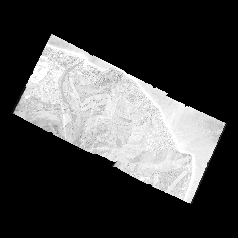
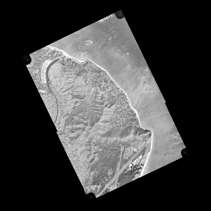
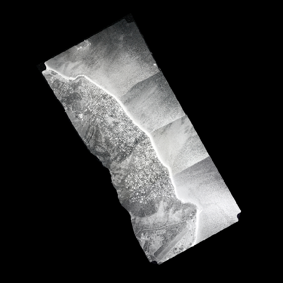
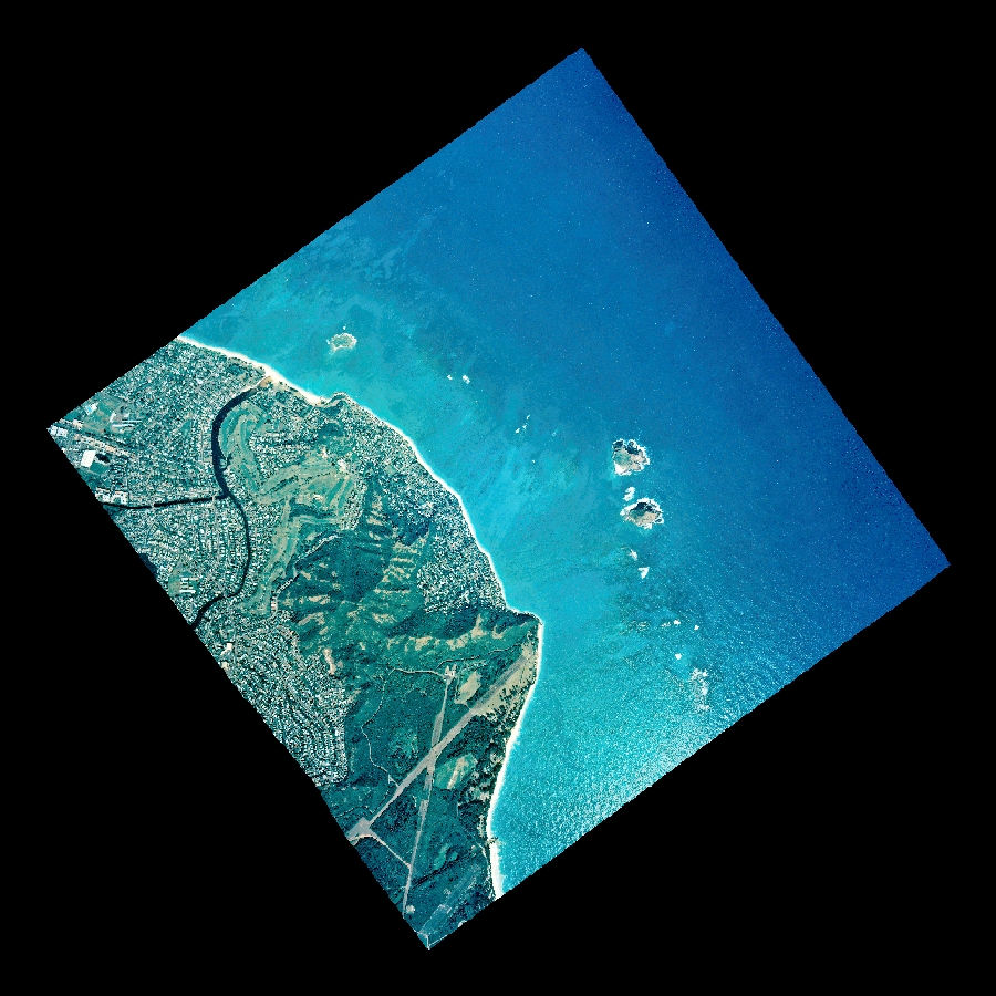
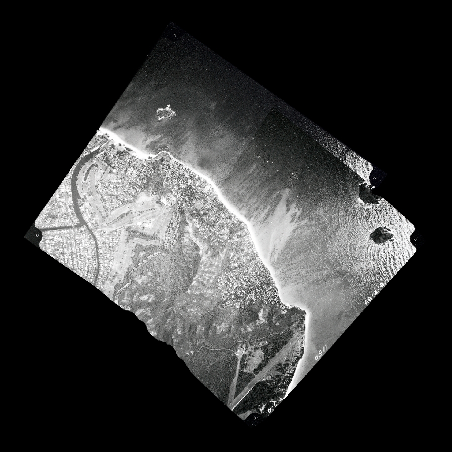
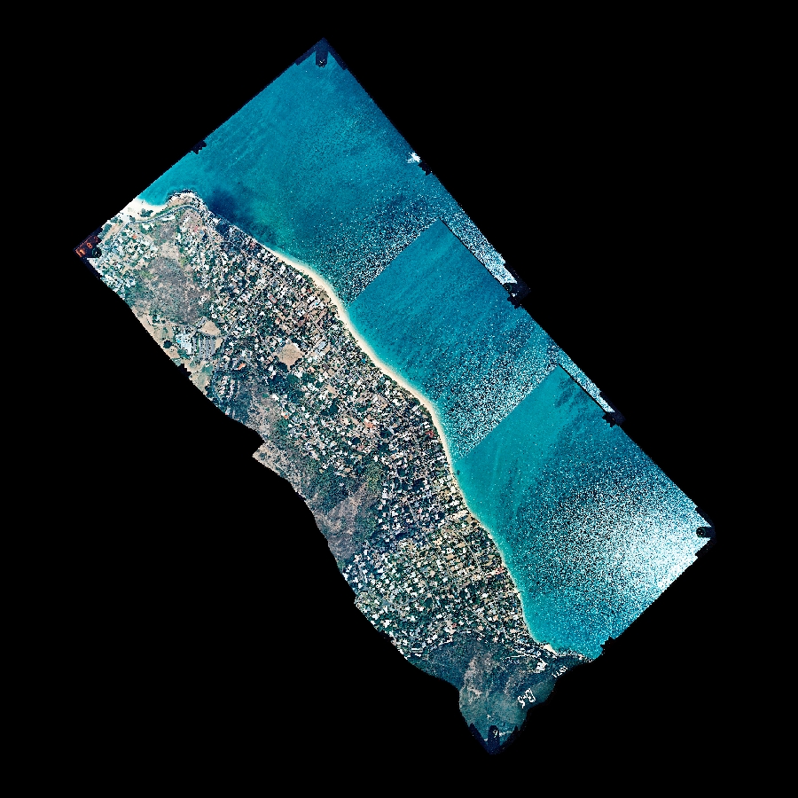
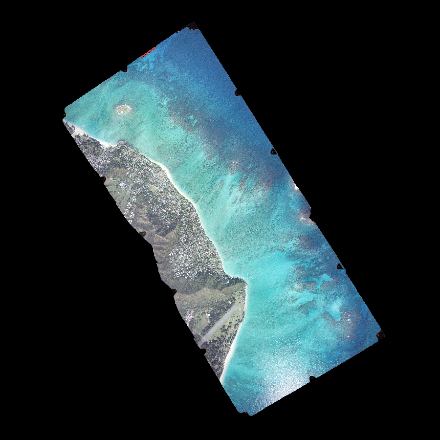
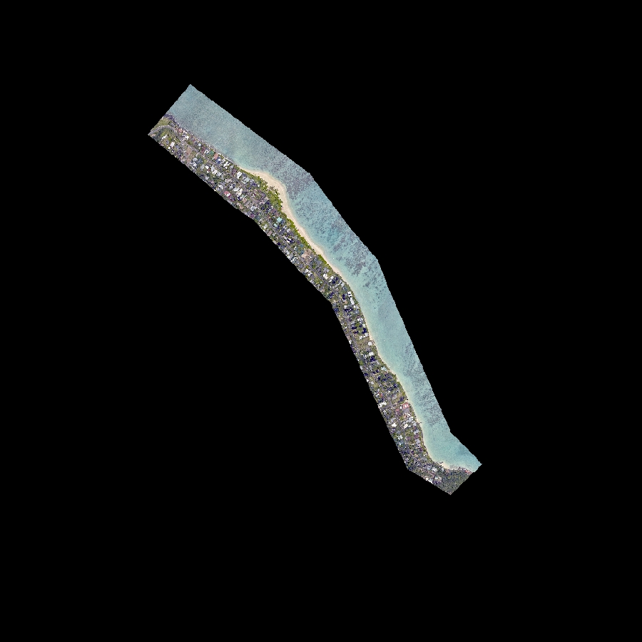
North Waimānalo (transects 0 – 217) is the northern half of a nearly continuous 4-mile-long beach extending from Wailea Point through Bellows Air Force Station and Waimānalo to Kaiona Beach Park (see Waimānalo map for southern half). The coast in this area is exposed to consistent easterly tradewind waves year-round and refracted northerly swell during the winter months. The inner shelf and shoreline are protected from the full energy of open ocean waves by a wide fringing reef platform.
Overall, North Waimānalo is characterized by erosion in the north and accretion in the south. The far northern portion of North Waimānalo (transects 1 – 34) was lost to erosion between 1988 and 1996. Waves break against a stone revetment at high tide in this area. Rates are calculated for this section up to and including the first historical shoreline with no beach and depict the speed at which the beach disappeared (up to -1.5 ft/yr).
South of transect 34 North Waimānalo is divided by jetties at Waimanalo Stream and the remains of a similar structure at lnaole Stream. Transects 35 – 84 are experiencing moderate erosion with the highest erosion rates at the northern end (-1.1 ft/yr), threatening further beach loss. Central and southern areas (transects 85 – 217) is approximately stable to accreting with the greatest accretion in the south (1.1 ft/yr).
Study results generally agree with those of previous studies (Hwang, 1981*; Sea Engineering, 1988**), which found erosion at the far northern portion of North Waimānalo and accretion on the north side of the Waimānalo Stream jetties.
*Hwang, D. (1981) “Beach changes on Oʻahu as revealed by aerial photographs”, State of Hawaii, Department of Planning and Economic Development.
**Sea Engineering, Inc. (1988) “Oʻahu shoreline study”, City and County of Honolulu, Department of Land Utilization.
Last updated: July 2021
Directions: To view a larger image of the photo, click on the image. To download the georeferenced TIFF version of the photo, click on the name
Partial coverage:
The Lydgate study area (transects 0 – 144) is located on the east coast of Kaua‘i south of the Wailua River mouth. The shoreline is composed of carbonate sand beach interrupted by occasional outcrops of beachrock with a fringing reef offshore. The area is exposed to persistent tradewinds and rough seas throughout the year.
Overall, the area is experiencing erosion at an average rate of -0.3 ft/yr. The area lends itself to division into three portions. The most northern portion (transects 0 – 4) has experienced erosion over time with an average shoreline change rate of -0.8 ft/yr. Previous studies1found accretion for this beach but stated that it is relatively unstable, alternating between accretion and erosion. The engineered swimming lagoon (transects 5 – 11) is experiencing chronic erosion with an average shoreline change rate of -0.9 ft/yr. The beach to the south (transects 12 – 144) has experienced erosion with an average shoreline change rate of -0.2 ft/yr.
*Makai Ocean Engineering and Sea Engineering, 1991 Aerial Photograph Analysis of Coastal Erosion on the Islands of Kauai, Molokai, Lanai, Maui, and Hawaii. State of Hawaii Office of Coastal Zone Management Program.
Last updated: July 2021
Directions: To view a larger image of the photo, click on the image. To download the georeferenced TIFF version of the photo, click on the name
Partial coverage:


