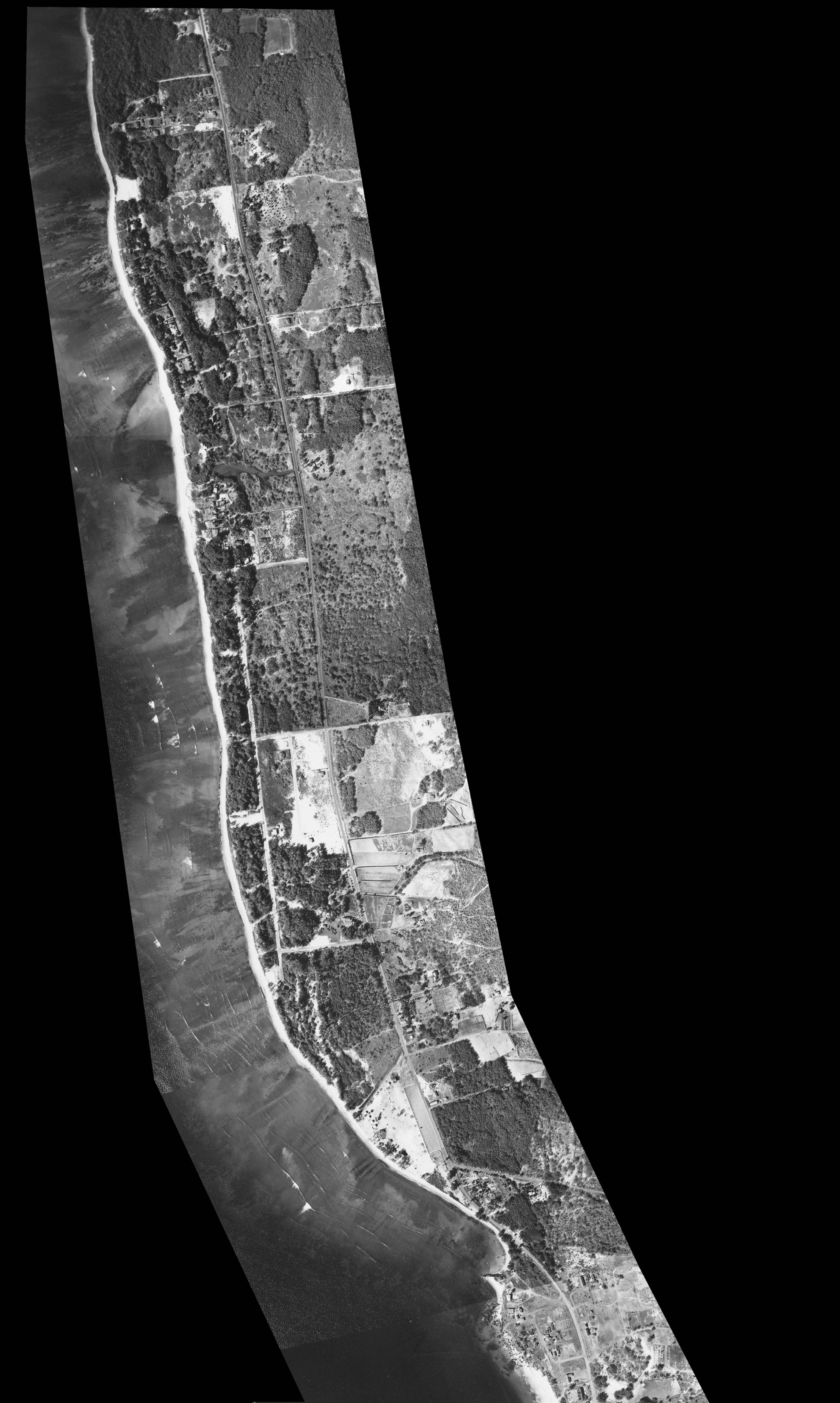
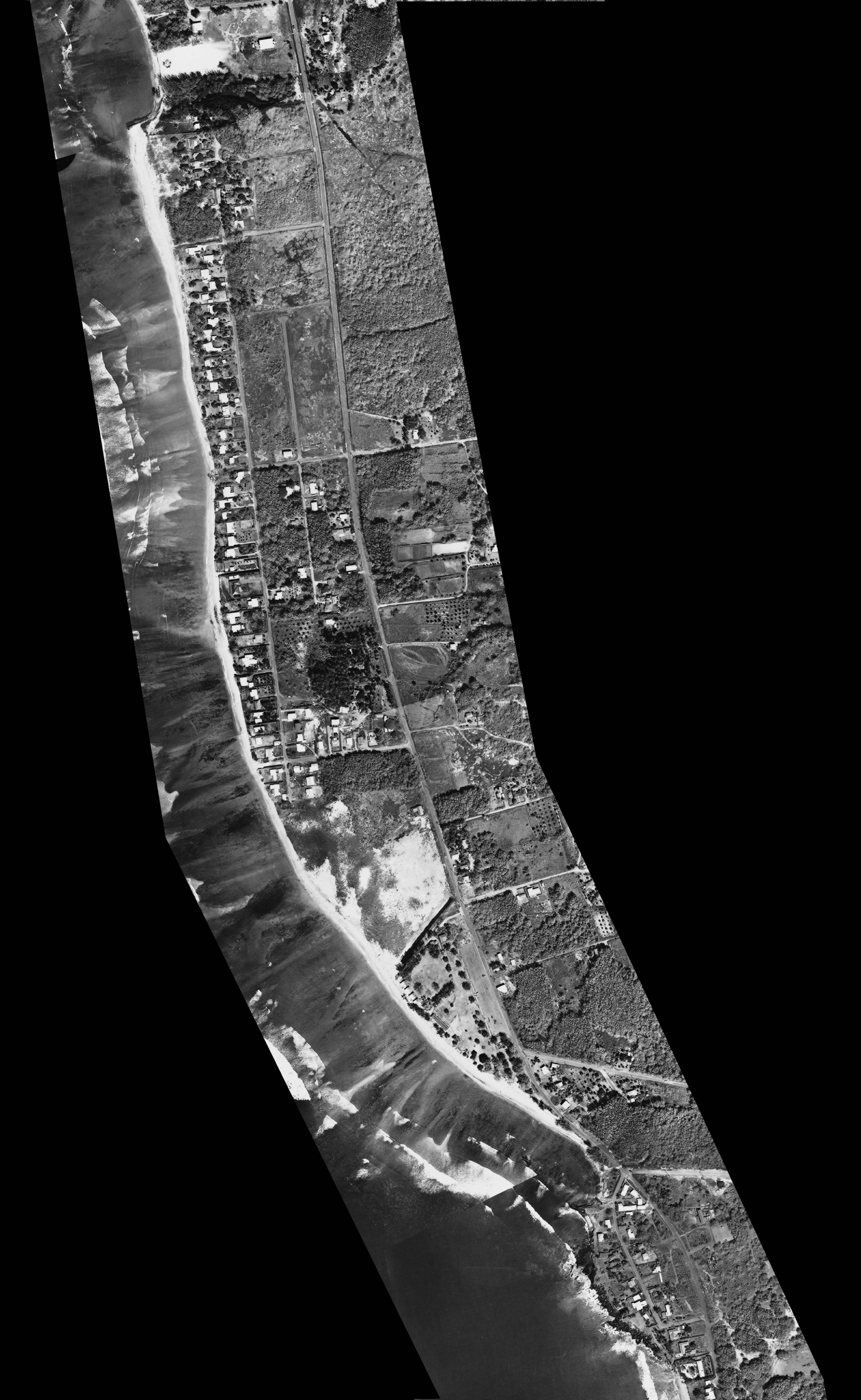
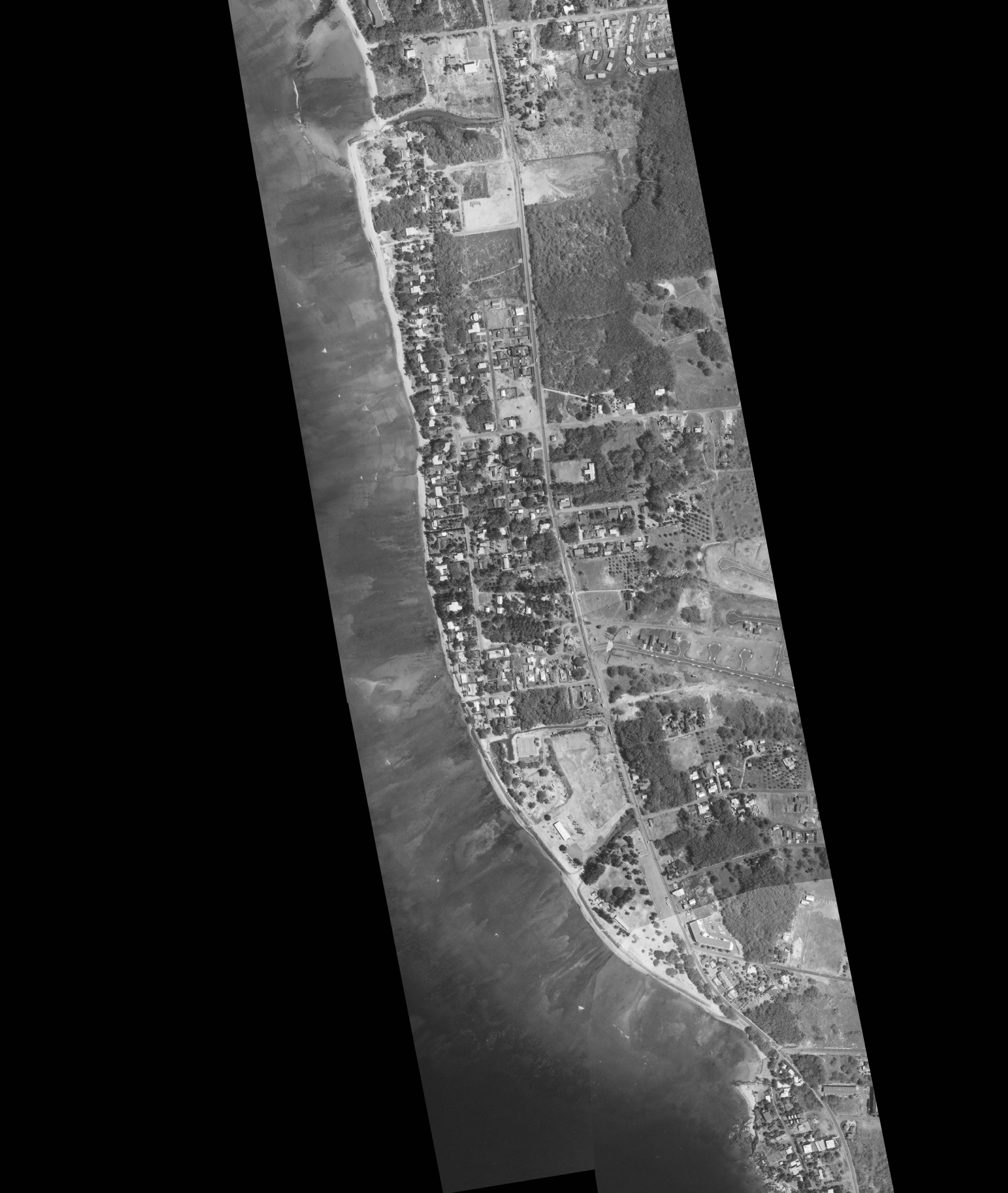
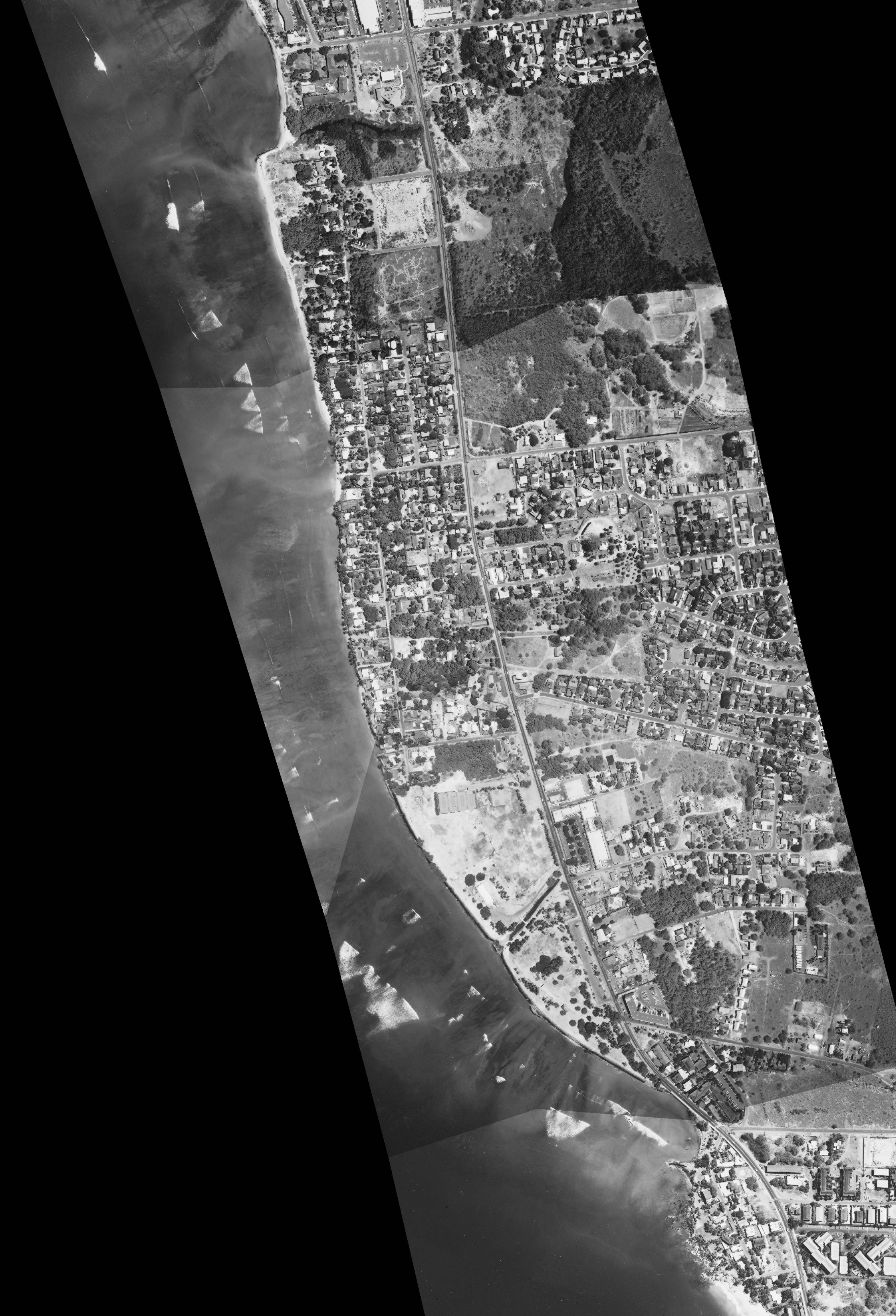
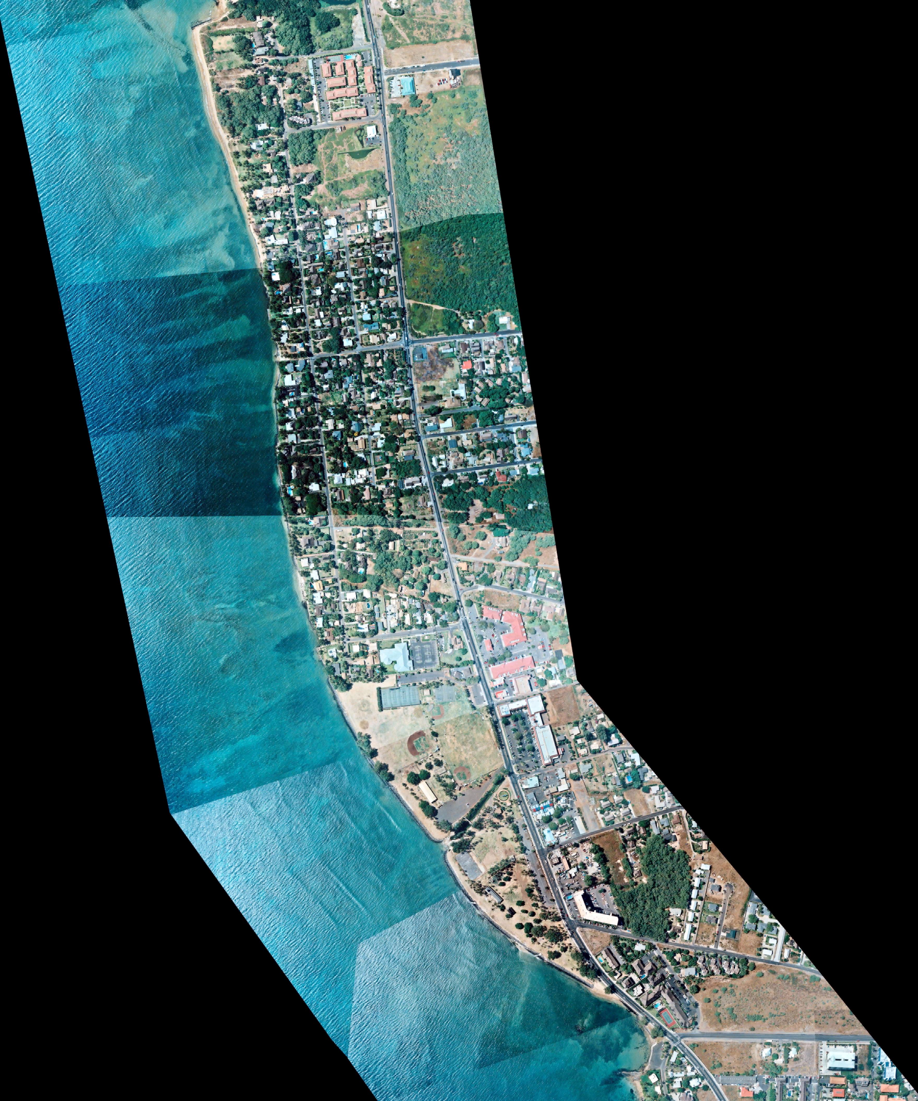
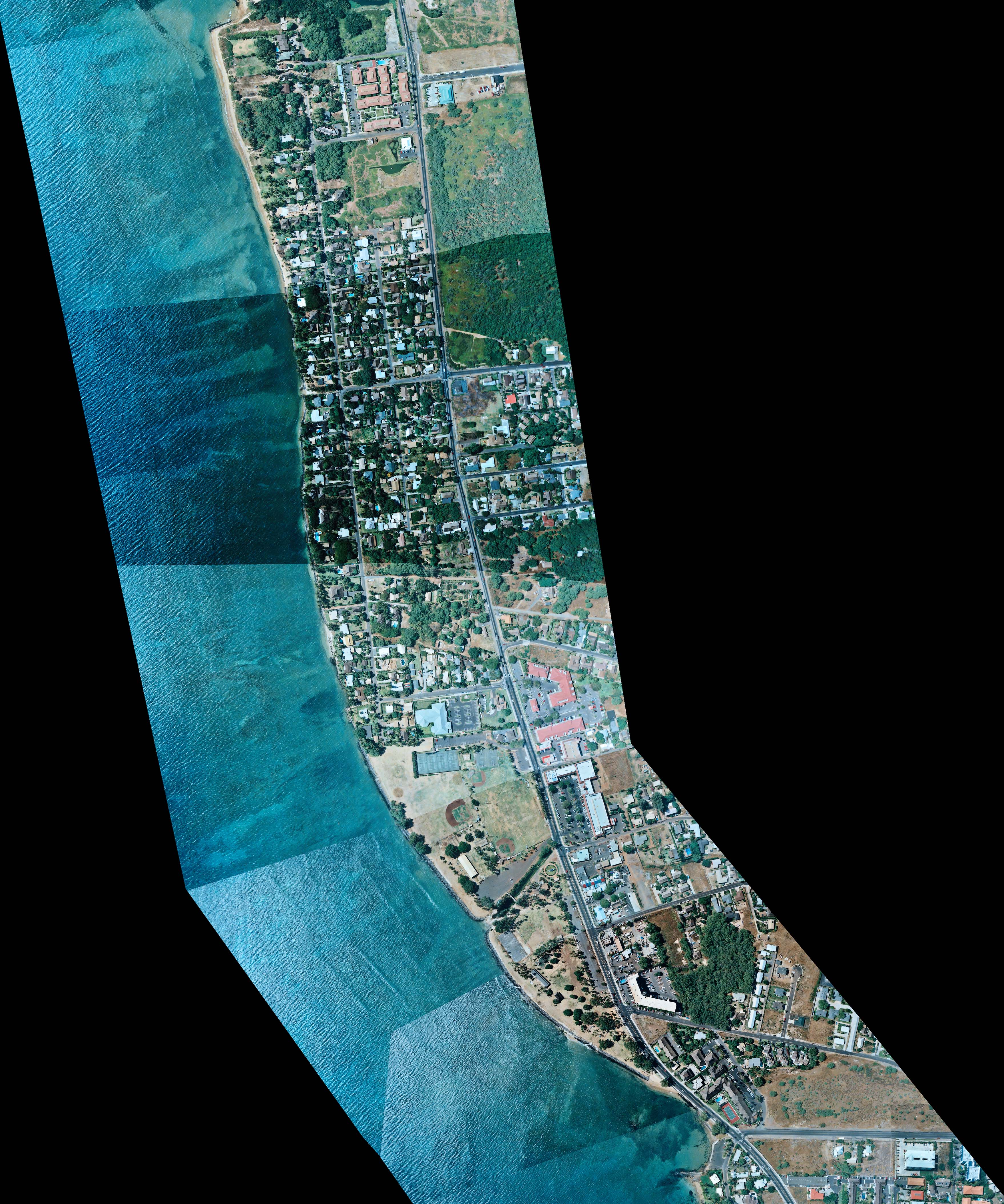
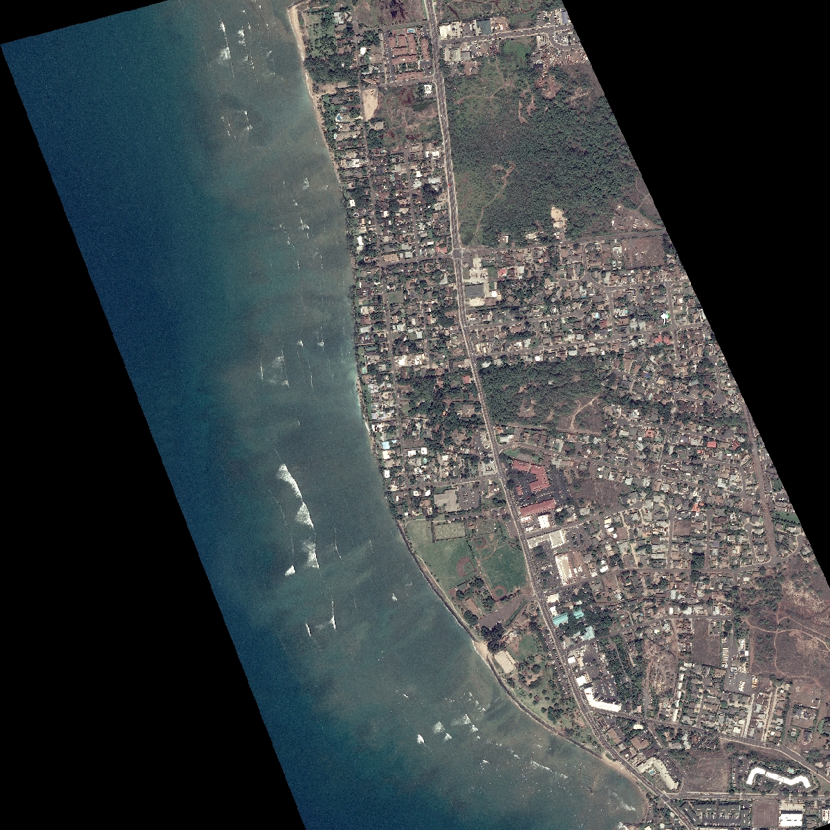
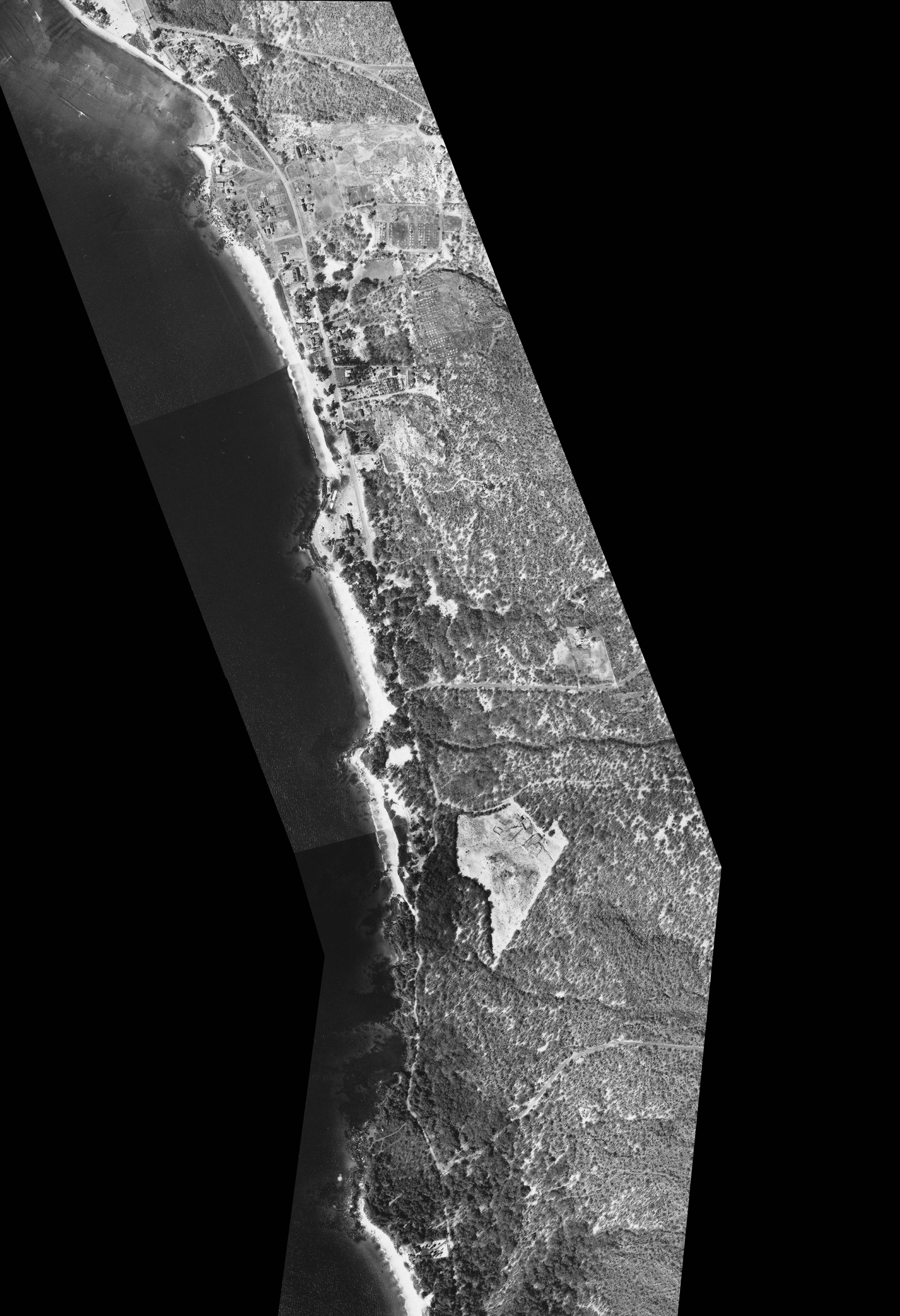
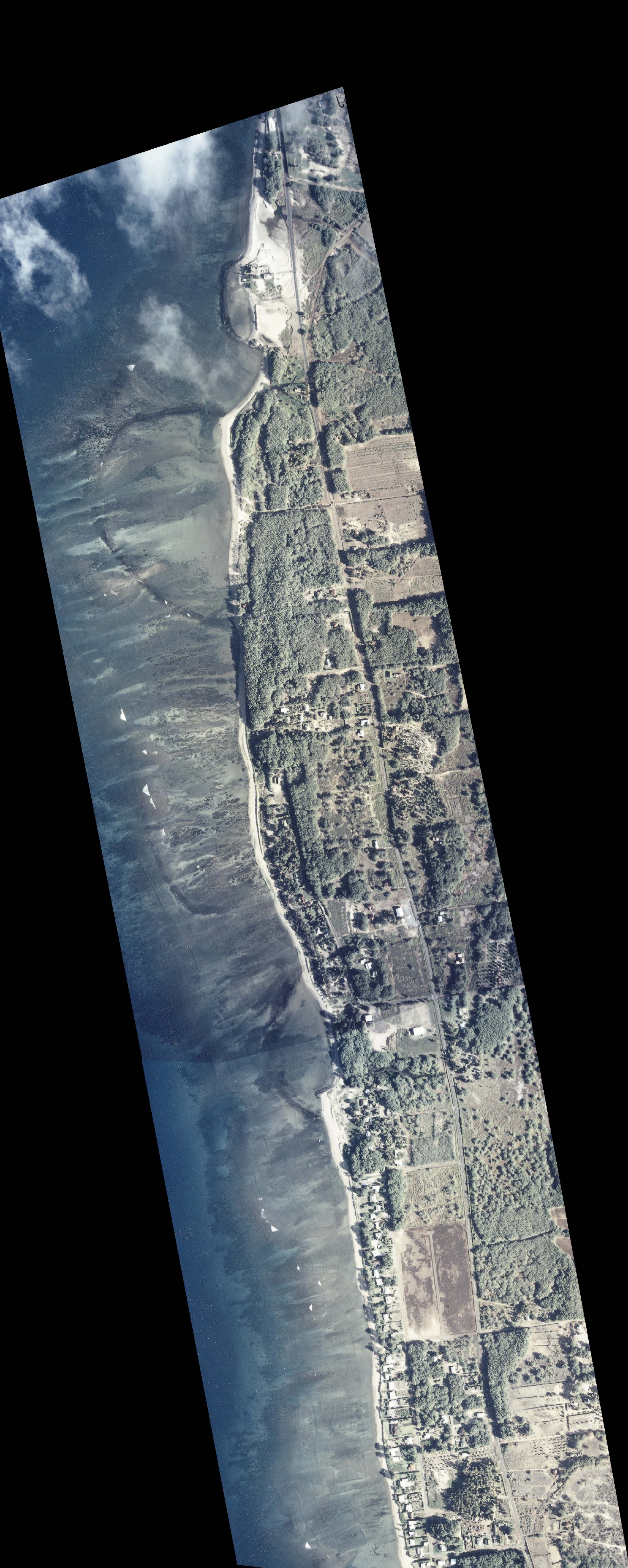
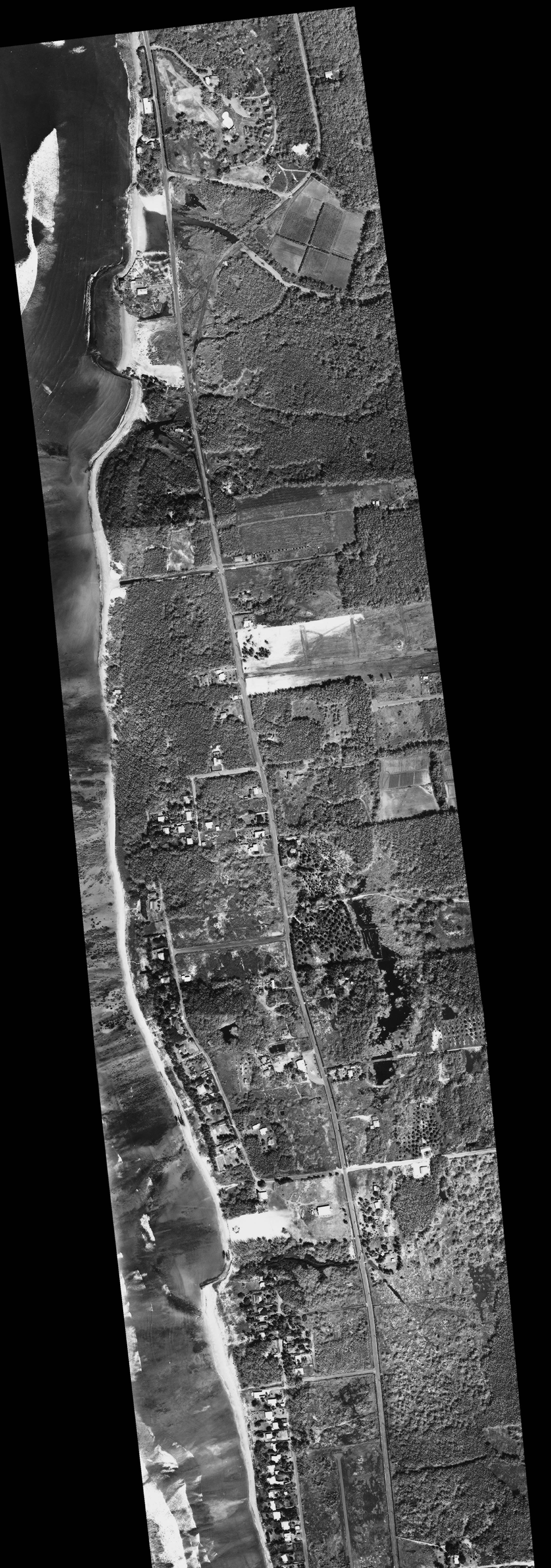
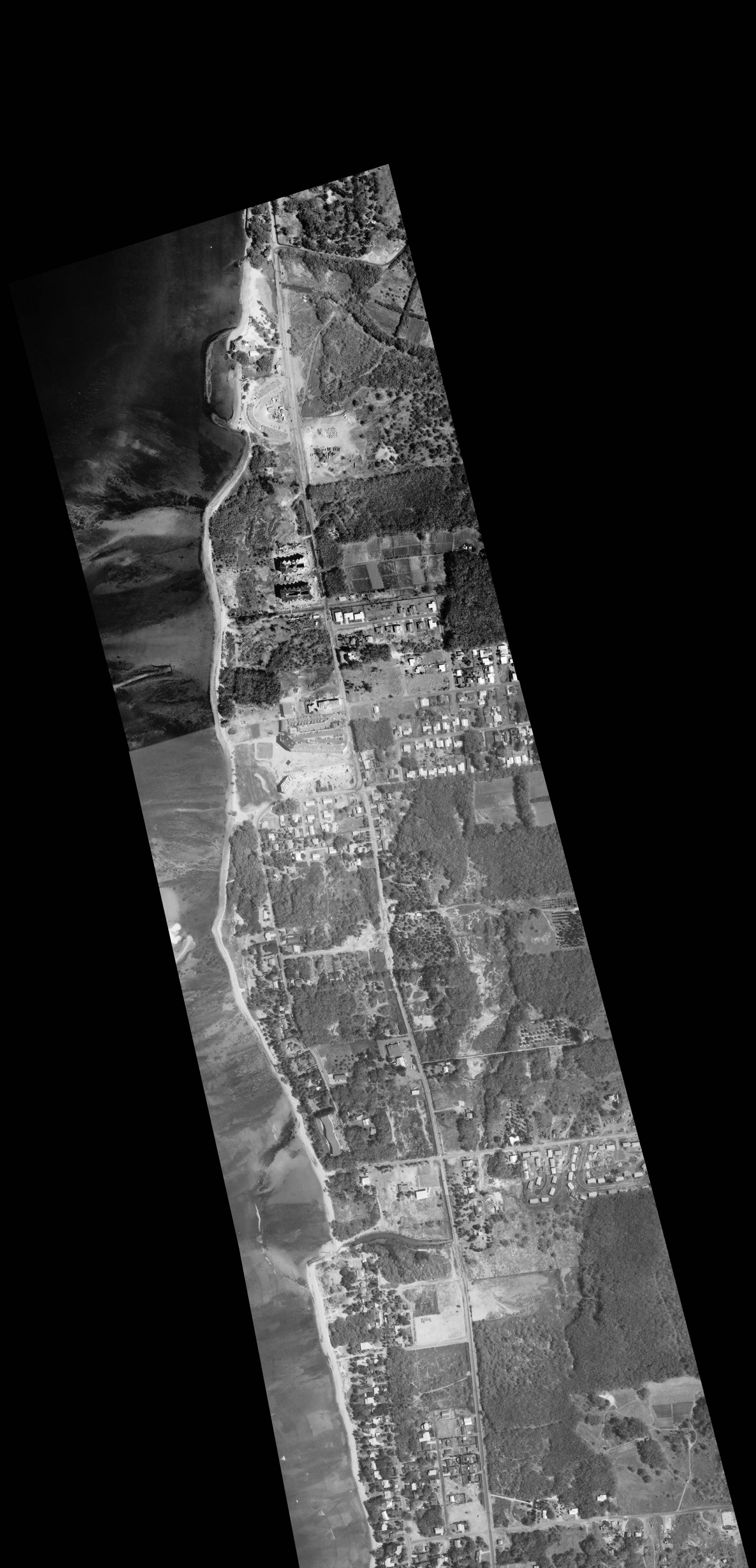
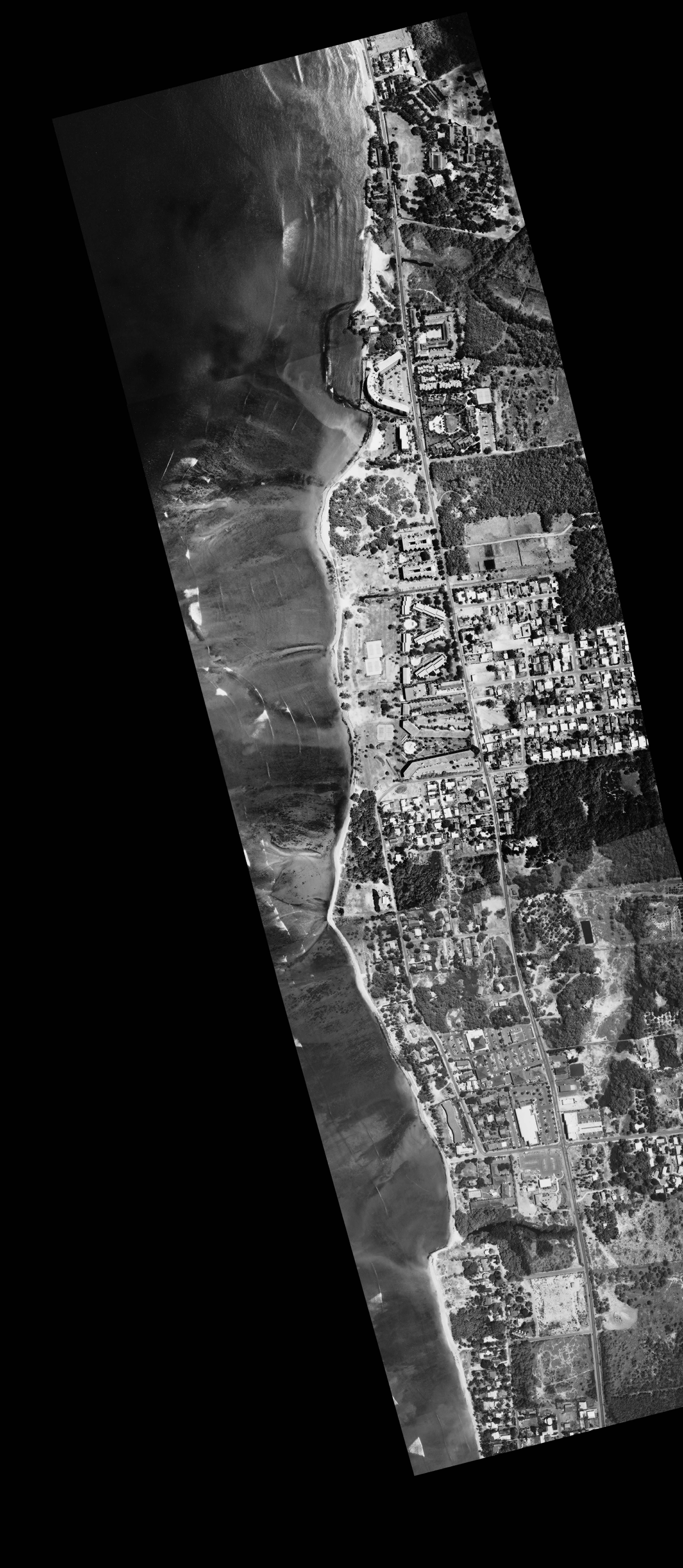
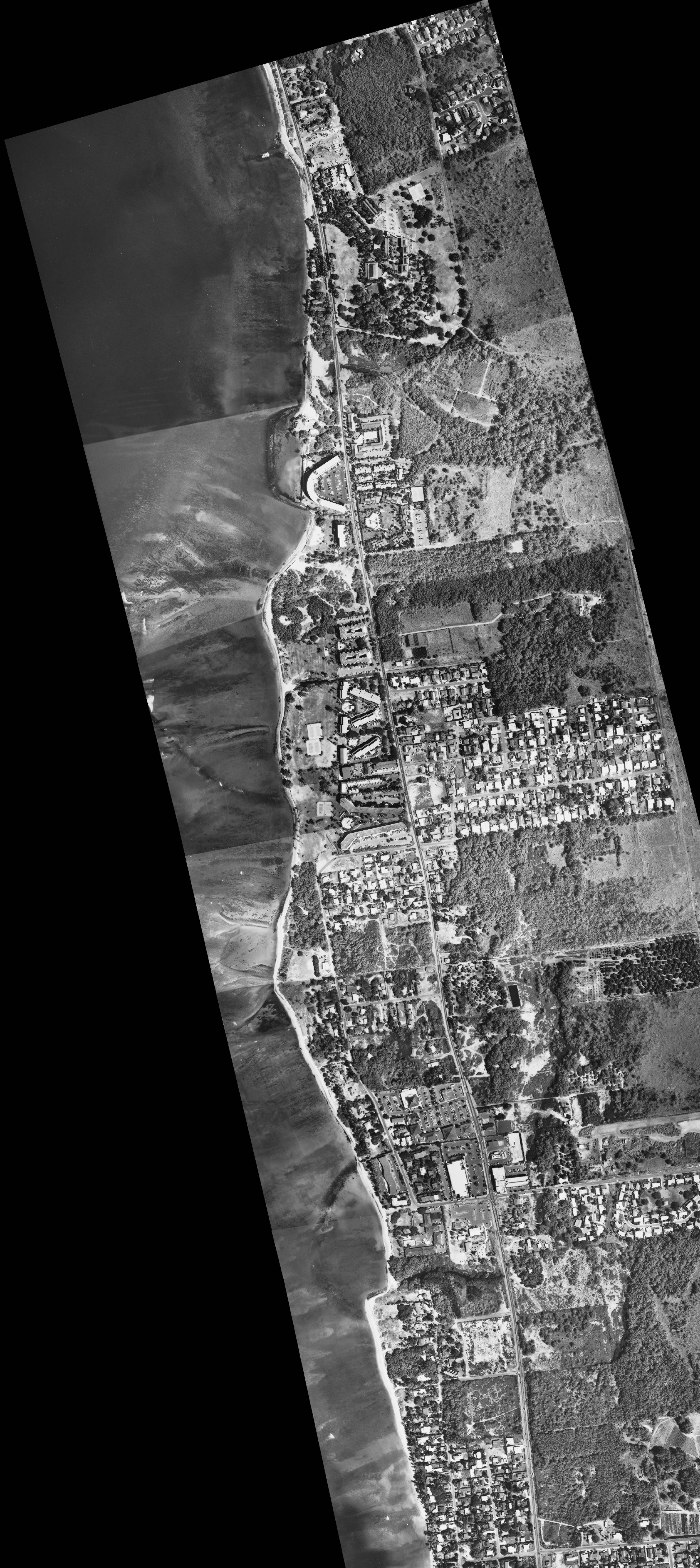
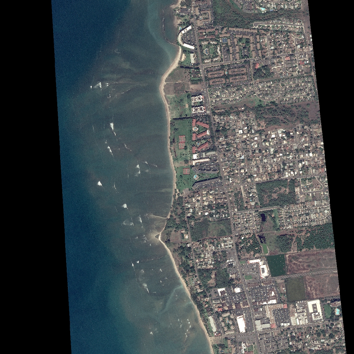
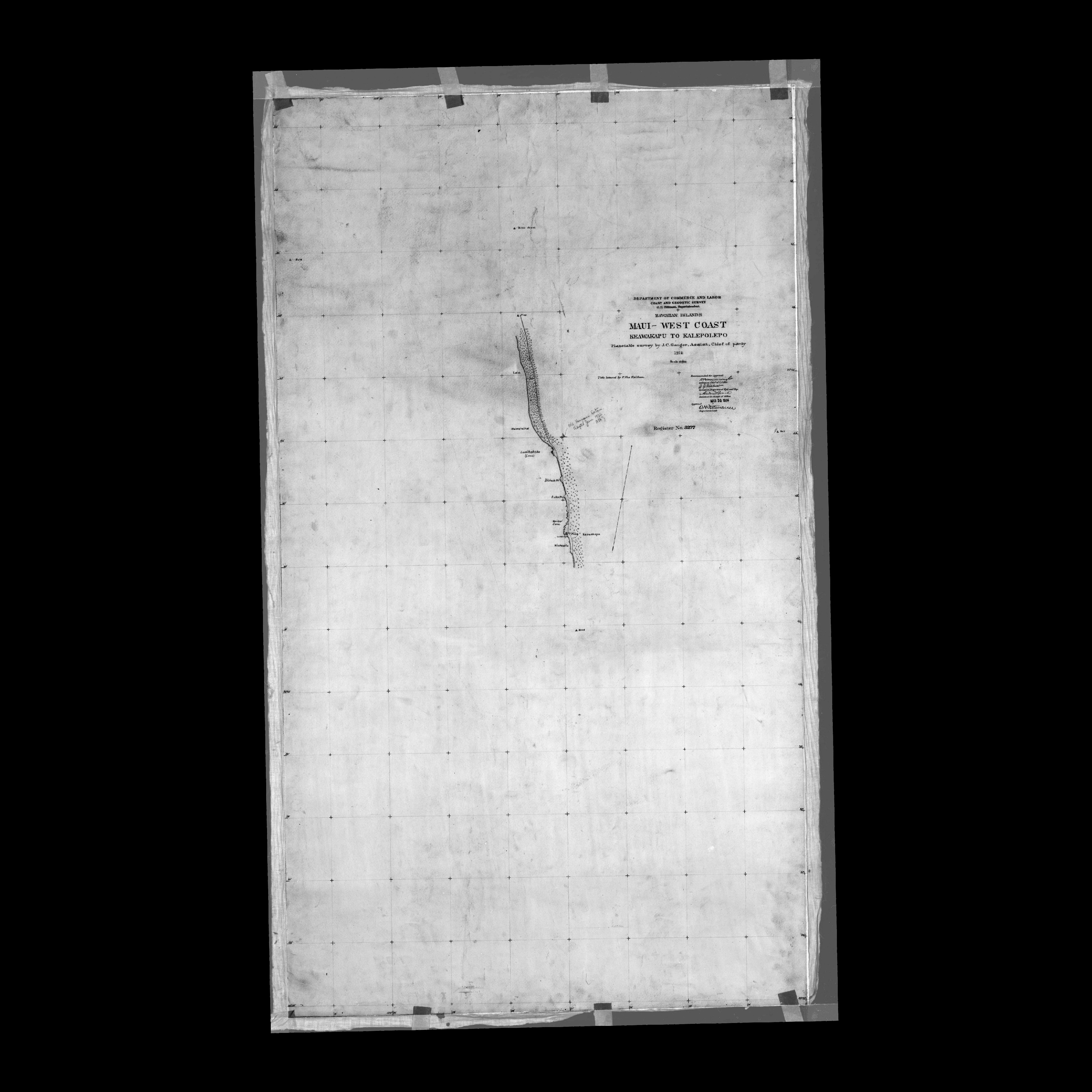
The Halama Street study area (transects 402 -512) is located on the south shore of Maui between the ruins of a Hawaiian fishpond and a groin in the north, and Kalama Park in the south. The shoreline is exposed to southerly swell in summer and Kona storm waves. A shallow fringing reef protects the shoreline from the full energy of open-ocean waves.
The central and southern portions of the Halama Street study area (transects 402 – 495) are characterized by chronic erosion and beach loss, where the average rate was -1.5 ft/yr. Little or no beach has existed between transects 402 – 450 since the 1970s, transects 451 – 484 since the 1980s, and transects 485 – 495 from the 1990s to 2010s. Waves break against revetments in this area at high tide. Only intermittent pockets of sand are found in small openings and at the base of revetments in this area in the 2007 and 2016 imagery. For areas where the beach has been lost to erosion, shoreline change rates are calculated up to and including the first shoreline with no beach, and show the rate at which the beach disappeared. The beach in the north of the study area (transects 496 – 512) has shown long-term accretion with an average long-term rate of 1.0 ft/yr. However, the beach in this area has not accreted since the 1970s presumably because the beach has widened to match the length of the groin to the north, so no new sediment can be captured. Expanding beach loss toward the north and accretion against the south side of the groin suggests that predominant sediment transport is to the north and that there is a threat of continued expansion of the extent of erosion and beach loss toward the north.
Last updated: July 2021
Directions: To view a larger image of the photo, click on the image. To download the georeferenced TIFF version of the photo, click on the name
Partial coverage:

