[ Bathymetry | Backscatter | Optical Validation | Seafloor Characterization]
Zipped data files contain 1) grid data file (GMT or ASCII), 2) high-res JPG of image, and 3) explanatory metadata text file (identical to linked file listed below).
20 meter grid

Download this image as a High-res JPG or PDF
Bathymetric data files
- Arc ASCII: Metadata text • Zipped data
5 meter grid

Download this image as a High-res JPG or PDF
Bathymetric data files
- Arc ASCII: Metadata text • Zipped data
Merged Multibeam Bathymetry, IKONOS Derived Depths

Download this image as a High-res JPG or PDF
5 meter grid

Download this image as a High-res JPG or PDF
Bathymetric data files
- View Metadata:
- Zipped Data:Arc ASCII
Derived Depth Bathymetry from Multispectral WV-2 Satellite Imagery
2 meter grid
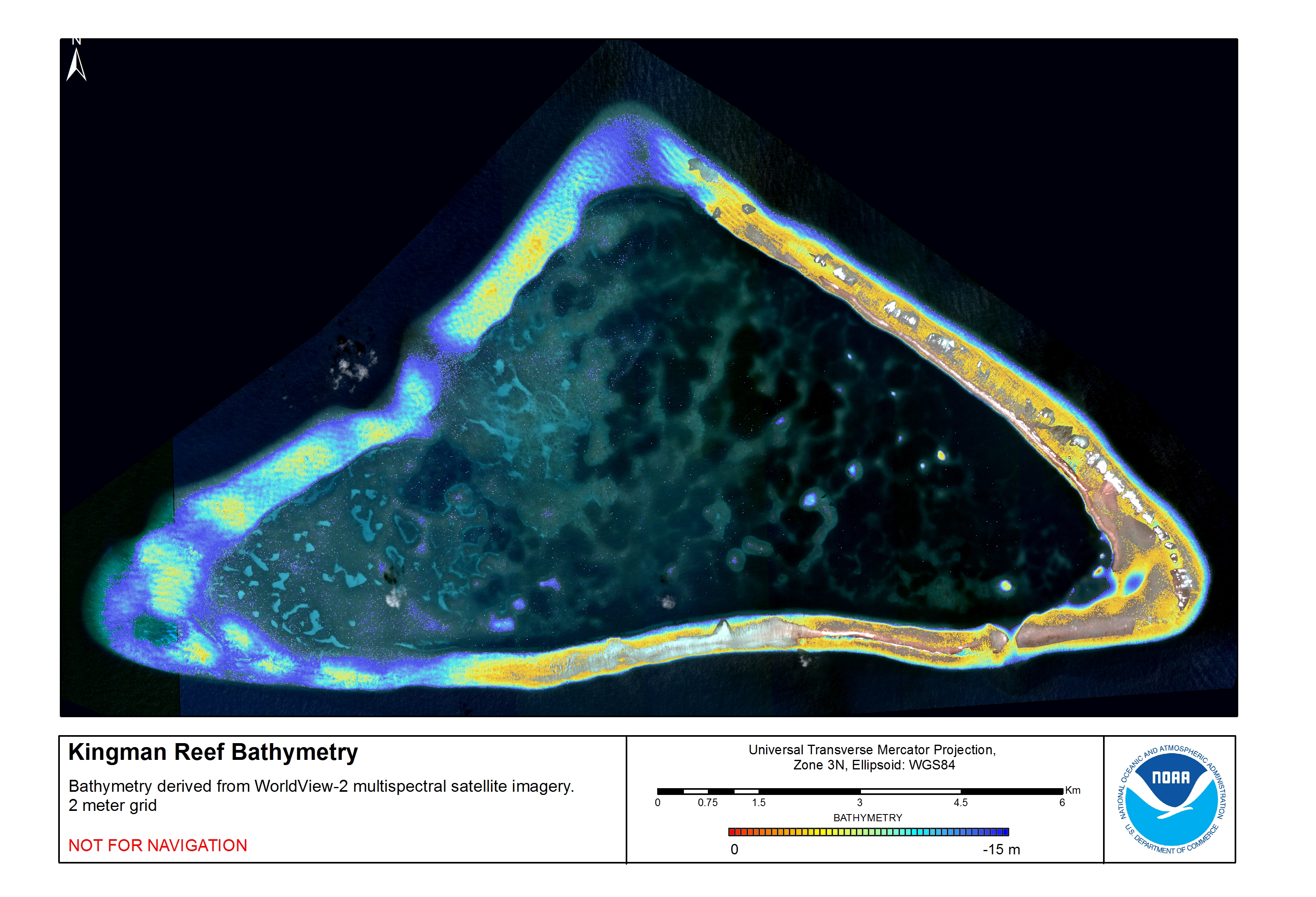
Download this image as a High-res JPG or PDF
Bathymetric data files: WV-2 derived depths bathy data files
- View Metadata: Metadata text
- Zipped Data: Arc ASCII