


Hawai‘i Shoreline Erosion Data
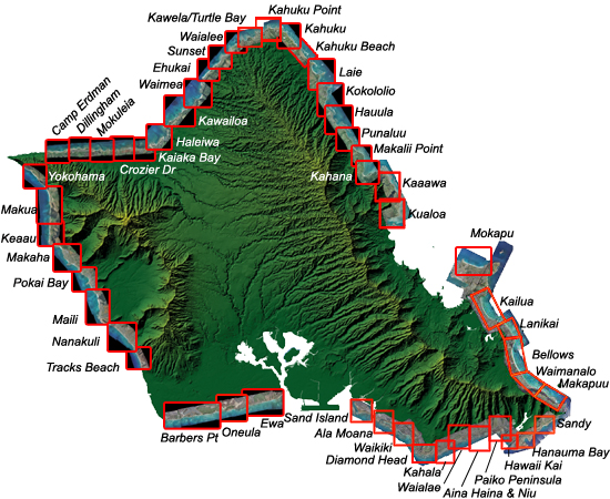
Shoreline change data intended to assist in decision-making in the coastal zone. Erosion maps, historical mosaics, aerial photography, oblique photography, and air coverage photos are only some of the datasets available for O‘ahu, Maui, and Kaua‘i.