


City releases “extreme tsunami” maps
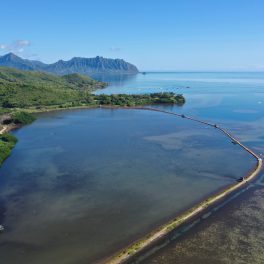
 Map showing extreme tsunami evacuation zones for Waikiki in yellow. Image courtesy of KITV.
The city unveiled a new set of Extreme Tsunami Evacuation Zone (XTEZ) maps which outline refuge areas and routes in high-impact, worst-case scenarios. The maps are based on the research of Kwok Fai Cheung, professor of Ocean and Resources Engineering (ORE).
The zones do not replace current tsunami zones, but rather add a second zone should an extremely large (9M+) earthquake occur in the Aleutian Islands, generating an especially destructive tsunami in Hawai‘i.
Gerard Fryer, Hawaii Institute of Geophysics and Planetology (HIGP) affiliate faculty and the senior geophysicist at the Pacific Tsunami Warning Center, says an extreme tsunami can come from nearly any direction. For example, the Aleutian Islands to the north of the state, the Kamchatka Peninsula to the northwest, and Vancouver Island to the northeast, just to name a few.
The new extreme tsunami maps were made possible through a $200,000 grant given to the UH Sea Grant College Program by the National Oceanic and Atmospheric Administration (NOAA). An additional $40,000 grant from NOAA allowed the city to create the smartphone app.
Read more about it and watch the video reports at KITV4 and KHON2.