DCW-GMT
DCW-GMT - The Digital Chart of the World for GMT 6 or later
Version 2.1.2 Released August 11, 2023
DCW-GMT is developed and maintained by
Paul Wessel, SOEST, University of Hawai'i, Honolulu, HI, USA.
Federico Esteban, Consejo Nacional de Investigaciones Científicas y Técnicas: Buenos Aires, Argentina.
Eduardo Suarez, Facultad de Ciencias Astronomicas y Geofisicas - UNLP, Argentina (deceased).
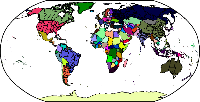
The Digital Chart of the World (DCW) is a comprehensive 1:1,000,000 scale
vector basemap of the world. The charts were designed to meet the needs
of pilots and air crews in medium-and low-altitude en route navigation
and to support military operational planning, intelligence briefings,
and other needs. For basic background information about DCW, see the
Wikipedia entry.
DCW-GMT is an enhancement to DCW in a few ways: (1) it contains more state
boundaries (the largest 8 countries are now represented), and (2) the data have
been reformatted to save space and are distributed as a single deflated netCDF-4 file.
The raw files used to build dcw-gmt.nc came from the Princeton University
Digital Map and Geospatial Information Center, accessible via website
http://www.princeton.edu/~geolib/gis/dcw.html; however, the DCW access
seems to have disappeared. Your best bet for more information is
WikiPedia.
DCW-GMT is released under the
GNU Lesser General Public License.
Notes:
- If you are building GMT from source then you should set the parameter
DCW_ROOT in the cmake/ConfigUser.cmake to point to the directory where
dcw-gmt.nc has been placed. If you add this file after GMT installation you can always
have GMT find it by placing it in your user ~/.gmt directory or setting the DIR_DCW parameter in
the gmt.conf settings.
Availability of DCW-GMT data
The latest data files are available below; details on the changes are described in the ChangeLog.
For GMT versions 6.1.1 or later, you may download one of these files via ftp or http:
- FTP: DCW-GMT polygons for GMT in netCDF 4 format (gzipped tar archive).
- FTP: DCW-GMT polygons for GMT in netCDF 4 format (zip archive).
- HTTP: DCW-GMT polygons for GMT in netCDF 4 format (gzipped tar archive).
- HTTP: DCW-GMT polygons for GMT in netCDF 4 format (zip archive).
Last update August 11, 2023 by Paul Wessel