
To subscribe to the ORE seminar mailing list, click here.
For a (working draft) list of upcoming seminars, click here.
If you are interested in giving an ORE seminar, please contact us at nosal [at] hawaii [dot] edu.
SAR
Events
-
-
Seminar joint with Oceanography: Satellite Altimeters and Synthetic Aperture Radars: Insights into Ocean Waves
Watanabe 112 2505 Correa Rd, Honolulu, HI, United StatesDr. Justin E. Stopa Assistant Professor Department of Ocean and Resources Engineering University of Hawaiʻi at Mānoa Space-borne satellites are an integral component of Earth observing systems. Ocean surface waves, which have a continuous presence in the ocean, are routinely observed using altimeters and synthetic aperture radars (SAR). Altimeters and SARs are active sensors that operate in the microwave band which allows for continuous monitoring without restrictions related to time of day or cloud cover. In this work, both of these technologies are exploited to study various ocean wave characteristics. There are 30+ and 20+ years of wave observations from
-
-
Toward a Consistent Analysis of Tropical Cyclones Winds and Waves
Watanabe 112 2505 Correa Rd, Honolulu, HI, United StatesAlexis Mouche LOPS/IFREMER Recent satellite missions offer a unique opportunity to consistently analyse Tropical Cyclone generated ocean surface waves and associated ocean surface wind field. This includes mostly Synthetic Aperture Radar (SAR) and altimeters missions for waves, and radiometers and SAR for wind. The measurements principles, capabilities and complementary of each mission is presented. Ocean surface wind measurements from radiometers benefit from very large coverage, high revisit time and are weakly sensitive to rain. They provide medium resolution O(50km) wind measurements that can be used for 34-, 50- and 64-kts wind radii estimates. This provides direct information on the storm
-
-
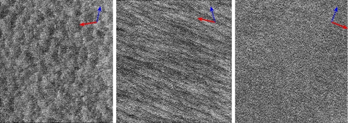
Seminar: Relating Observed Marine Boundary Layer Cells, Rolls, or Their Absence to Surface Layer Stratification Using Sentinel-1 SAR Data
https://hawaii.zoom.us/j/93596087383Dr. Justin Stopa Assistant Professor Department of Ocean and Resources Engineering University of Hawai'i at Mānoa Zoom Meeting Link: Meeting ID: 935 9608 7383 Passcode: OREseminar https://hawaii.zoom.us/j/93596087383 We live in the layer of the atmosphere that extends upward from the ground to a typical height of 1 km. This lower portion of the atmosphere interacts with the ocean and exchanges gas and heat which drives the weather and climate. Datasets describing the lower portion of the atmosphere in the open ocean are sparse. We are motivated to fill this data gap by proposing a marine atmospheric boundary layer state indicator
-
-
MS Plan B Defense: Estimating marine atmospheric boundary layer stratification with synthetic aperture radar data
Jonathan B. Chapman, PE Department of Ocean & Resources Engineering University of Hawai‘i at Mānoa Location Information **This defense will be held both in person (Kuykendall Hall 101) and over Zoom** Meeting ID: 914 1679 5922 Passcode: 808795 https://hawaii.zoom.us/j/91416795922 Uncertainties in the lower atmosphere’s stratification, which is the balance between buoyancy and shear, lead to large uncertainties when determining air-sea fluxes. Previous works show that synthetic aperture radar (SAR) sea surface roughness images show atmospheric phenomena that are known to be related to stratification. In this project, we hypothesize that physics-guided neural networks (PGNNs) can be used to estimate
-
-
Seminar: WVNet: A SAR Foundational Model with Applications for Air-sea Interaction Research
Marine Science Building 100 1000 Pope Road, Honolulu, HI, United StatesYannik Glaser PhD Candidate in Information and Computer Science Department of Atmospheric Sciences University of Hawai’i at Mānoa Justin Stopa Associate Professor Department of Ocean and Resources Engineering University of Hawai’i at Mānoa Location Information **This seminar will be held both in person (Marine Sciences Building 100) and over Zoom** Zoom Invitation Link: https://hawaii.zoom.us/j/98919200762 Meeting ID: 989 1920 0762 Passcode: 201326 Synthetic aperture radars (SAR) aboard space-borne satellites measure sub-mesoscale oceanic and atmospheric phenomena at a global scale. This work uses the European Space Agency (ESA) Sentinel-1 (S-1) SAR mission’s sea surface roughness to study sub-mesoscale phenomena such as turbulence