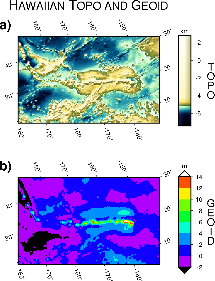
 Example 2. Images of bathymetry and the marine geoid in the region surrounding the
Hawaiian Islands. The two images are oblique Mercator projections of data
sampled on a geographical grid. The data were extracted from global data sets
available from the National Geophysical Data Center in Boulder, CO. Separate
calls to grdimage and psscale created the composite illustration.
Example 2. Images of bathymetry and the marine geoid in the region surrounding the
Hawaiian Islands. The two images are oblique Mercator projections of data
sampled on a geographical grid. The data were extracted from global data sets
available from the National Geophysical Data Center in Boulder, CO. Separate
calls to grdimage and psscale created the composite illustration.
 View GMT script.
 Download zipped PostScript file.
 Back
Back