
The 2017 ESVI REU Cohort of 10 visiting students from across the US. The 11th student (lower left) is Kayla Brignac who we adopted as part of our cohort (Kayla is a GES major in SOEST and was supported by a NIST fellowship). Click on the image to see a larger version.
ESVI REU Program 2017 — Overview
www.facebook.com/UHGGREU
Prof. Paul Wessel, ESVI REU Leader
This is the first summer of the ESVI NSF/REU site program. The first objective of our REU is to provide cutting-edge STEM research opportunities for traditionally underrepresented groups, in particular Native Hawaiians and Pacific Islanders, as well as other minorities presently enrolled at undergraduate institutions that provide few opportunities to participate in cutting-edge research. In short, find excellent students from this population who will benefit the most from our program. Our second objective is to improve students’ writing and presentation skills and to encourage all students to submit an abstract and present their work at the Fall AGU Meeting or the Annual GSA Meeting. Our third objective is to remain connected with our REU students long after they leave our campus and to follow their progress in graduate school and beyond.
We hosted 10 undergraduates, and each student was engaged in a 9-week intense research project with individual mentors. For a brief summary of each participant’s project and mentor, see project descriptions below. The ESVI REU finalists were selected from ~600 applicants.
In addition to research, our group has had many cohort activities, such as
- 3-day oceanographic cruise on the R/V Kilo Moana [we also hosted 3 Kamehameha students]
- 2-day geologic field trip to the Big Island.
- Visit to the Pacific Tsunami Warning Center.
- Visit to HIMB, Coconut Island [jointly with Biodiversity REU].
- Quaternary geology kayak expedition to Mokulua Islands.
- Botanical hike (Palehua-Palikea trail) [jointly with Biodiversity REU].
Click on the small poster images below to see a larger version.
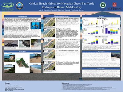 Burstein, Jacob [U. South Carolina. Mentor: Fletcher]. Jake has used our coastal erosion model to project shoreline movement under future sea level rise at 4 turtle nesting beaches on the North Shore of Oahu. When the shoreline migrates within 20 ft. of existing roads and homes it triggers an emergency permit that can lead to seawall construction. Seawall construction on an eroding shoreline leads to beach loss, in this case critical habitat loss. Jake is probing this phenomenon with his modeling to provide improved management information to government officials.
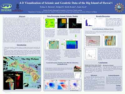 Burstein, Joshua [U. South Carolina. Mentor: Smith-Konter]. Josh has been working on a 4D visualization project of seismic and geodetic data of the Big Island, Hawaii. Using state-of-the-art visualization tools, he is integrating new seismicity data, seismic velocity models, GPS crustal motions, and crustal defor-mation models to improve our understanding of the architecture of the Big Island volcanic system.
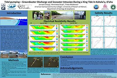 Chang, Jennet [Am. Samoa Comm. College. Mentor: Dulai]. Sea level significantly affects not only coastal flooding and erosion but the condition of the coastal aquifer. We use the 2017 king tides to document the interplay between submarine groundwater discharge at low tide and seawater intrusion at high tide in Kaneohe Bay Oahu. Using electrical resistivity imaging of the shallow subsurface we found that seawater intrusion was present as much as 4 meters below the subsurface and was completely flushed at the following low tide by brackish water discharging from the coastal aquifer.
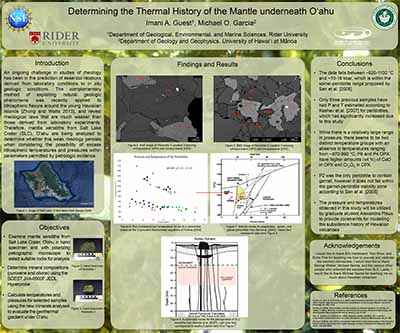 Guest, Imani [Rider U. Mentor: Garcia]. Imani has been studying mantle xenoliths from Salt Lake Crater, Oahu to determine the geothermal gradient for the Hawaiian swell. She has been analyzing the composition of minerals in these rocks using the SOEST electron microprobe to determine temperatures and pressures for the deep-seated mantle rocks. The results from this work will be utilized by a NSF funded study to look how the crust and mantle under Hawaii responds to the rapid loading by Hawaiian volcanoes.
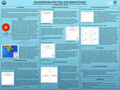 Kitamikado, Christina [El Camino College. Mentor: Martel]. Christina has been investigating, from a theoretical standpoint, the flexure of the oceanic crust beneath the Hawaiian Islands through time. She is using MATLAB and the fundamentals of continuum mechanics to produce time-dependent computer models of the flexure beneath axisymmetric island loads.
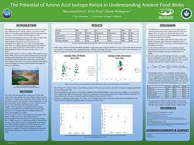 Kubica, Marcelina [Yale U. Mentor: Popp]. Marcelina is investigating the use of compound-specific stable isotope analysis of amino acids in hair as a means reconstructing diets of ancient populations. Knowing past diets can be crucial in understanding the intrinsic connection between human behavior and use of natural resources. She is analyzing hair from members of three tribes surrounding Lake Turkana, Kenya whose subsistence is distinctly different - freshwater fish, camel or cattle/goat based.
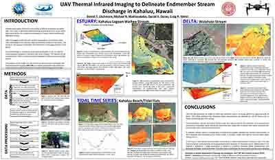 Litchmore, Daniel [Northeastern U. Mentor: Glenn]. Dan’s project uses a drone equipped with a thermal infrared camera to observe stream discharge behavior as it meets a saline endmember. It allows for the visualization of discharge plumes and a better understanding of stream outlet dynamics that would normally be nearly impossible to observe with just a normal camera.
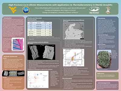 Pettus, Holly [W. Virginia U. Mentor: Konter]. Holly is using the electron microprobe to use mineral compositions to help estimate the depths and temperatures that a series of mantle rocks originated from during a volcanic eruption. She is also comparing her results from experiments of known temperature and pressure estimated conditions to assess the accuracy of the technique.
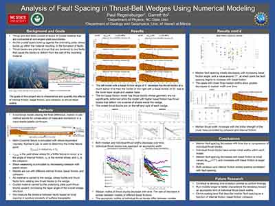 Regensburger, Paul [North Carolina State U. Mentor: Ito]. Where two tectonic plates collide, they can form mountain belts, which create dramatic landscapes and are zones of major earthquake activity.Paul is using computational geophysical models to illuminate the processes that govern the location of major fault zones in mountain belts as well as the stresses they support.
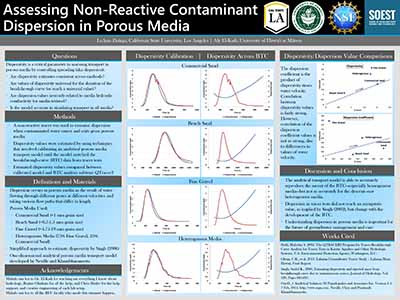 Zuniga, Leann [California State U. Mentor: El-Kadi]. LeAnn is utilizing laboratory and modeling in assessing contaminant transport in porous media. A tracer is used to determine the velocity of water movement and examine the dispersion (or spreading) effects when fresh water displaces brackish water or vice versa. In addition to the experimental work, LeAnn applies a mathematical model and software to simulate the time evolution of contamination concentrations and estimating transport parameters.
2017 ESVI REU Cohort | 2018 ESVI REU Cohort | 2019 ESVI REU Cohort | 2020 ESVI REU Cohort | 2021 ESVI REU Cohort
[ Top of page ]
